Along the Green Line: The BU Stretch, Where the T Meets the River
Between Kenmore and Packard's Corner, the Green Line runs at street level past Boston University — part subway, part streetcar, and all Boston.
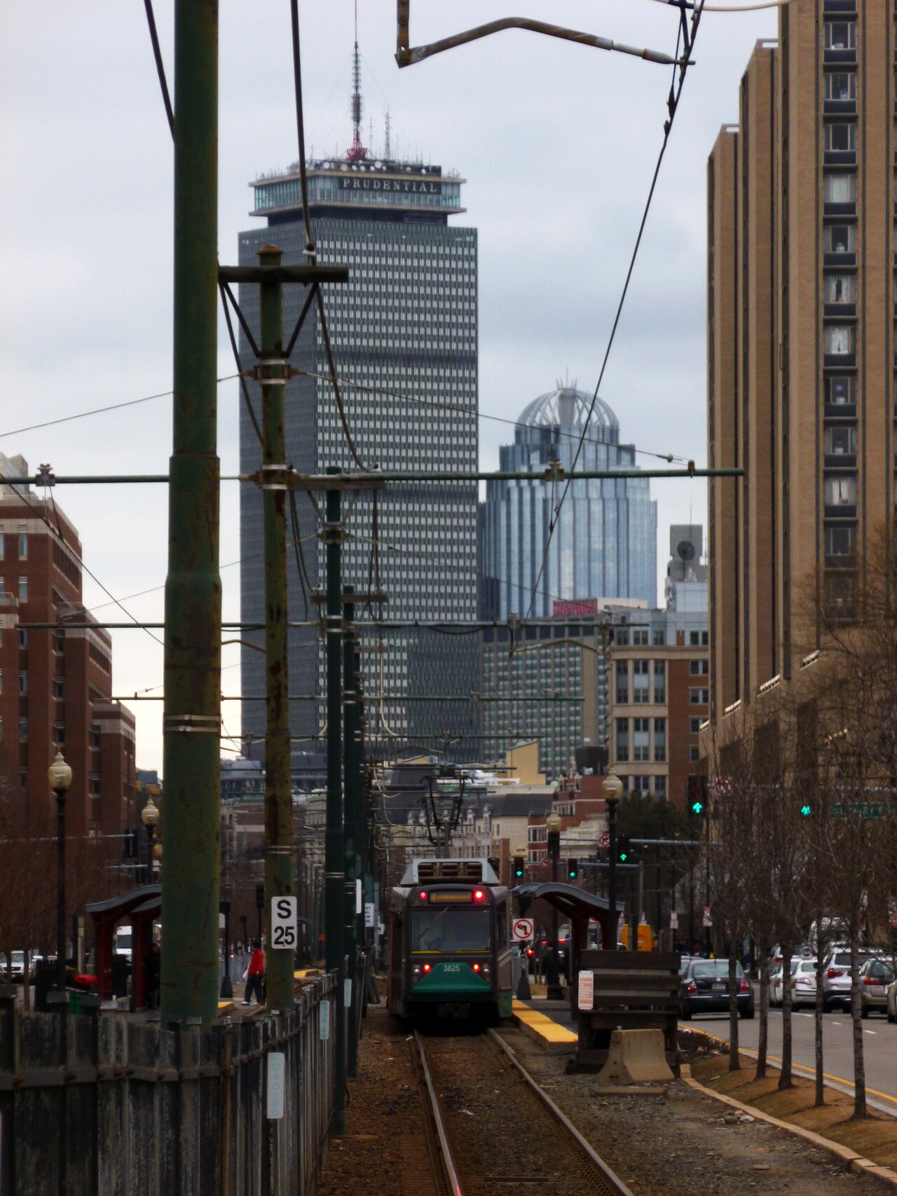
Most of Boston's subway hides underground, but along Commonwealth Avenue the Green Line comes up for air. From Kenmore Square west through the Boston University campus, the B branch runs down the middle of Comm Ave, trains and traffic negotiating the same intersections they have shared for more than a century.
This is streetcar country, some of the oldest in America. The surface line past BU stops at a string of stations — Blandford Street, the BU East, Central and West stops, and on toward Packard's Corner — where students, hospital workers and Fenway crowds all pile onto the same two-car trains. On game days and move-in weekends, the platforms become a spectator sport of their own.
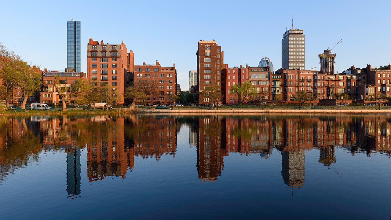
The ride has a view most transit systems would charge extra for. Eastbound, the train crests past the Charles River with Cambridge across the water; westbound, the brownstones of the Back Bay give way to Allston's storefronts and the slow climb toward Boston College. In November, with the trees bare along the Comm Ave mall, the whole corridor turns the color of brick and late light.
Street-running transit is a compromise — trains wait at lights like everyone else — but it is also the neighborhood's front porch. Riders hop off at a bookstore, a clinic, a classroom or a ballgame without ever going underground, and the line knits the university into the city instead of walling it off.
Ride it at dusk this week, when the car windows fog and the skyline lights up behind you. It is not the fastest way across Boston. It might be the most Boston way.